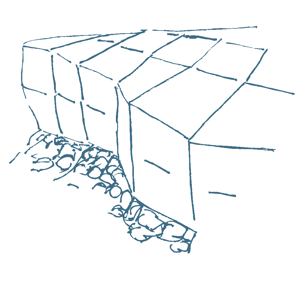
Manitoulin Island is formed of glacially-abraded dolomite and limestone bedrock widely exposed across the island. The karstification of the island landscape may result in a variety of large- or small-scale features both on the surface and beneath.

Karst is a topography formed from the dissolution of soluble rocks such as limestone, dolomite, and gypsum. It is characterized by underground drainage systems with sinkholes and caves.

The development of karst occurs whenever acidic water starts to break down the surface of bedrock near its cracks, or bedding planes. As the bedrock (typically limestone or dolostone) continues to degrade, its cracks tend to get bigger. As time goes on, these fractures will become wider, and eventually a drainage system of some sort may start to form underneath.
In order to log this Earthcache as found you have to answer following questions:
- What kind of rock you can see in this area?
- Estimate the size of this formation and the size of the opening at the top.
- What other factors help creating karst like this?
- Do you think the arch will collaps under it's own weght or from erosion?
- Take a picture of yourself with the arch at the background. (optional)