Today, we hiked up to Cerro La Cruz. Actually, that was the plan, but we did not make it because of the snow and the treachery of the trail. So the geocache I had prepared to drop off near the peak of La Cruz ended up being about a kilometer away from the peak, at a height of some 2300 meters. The trailhead is at 895 meters above sea level, so the total climb to get to this cache is about 1400 meters, so should not be done lightly.

The peak of the mountain is 2556 meters above sea level, and I would encourage anyone who visits this cache to go on to the top. Just be careful when you do. More information is available from: Wikiexplora, which is also the source fo the following height map:

However, before heading up to this cache, you will have to find the actual coordinates. And that is where the second part of the cache name comes into play.
Mountain A: 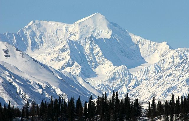
Mountain B: 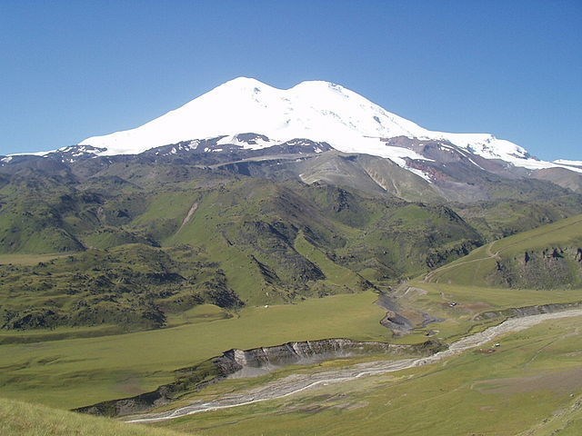
Mountain C: 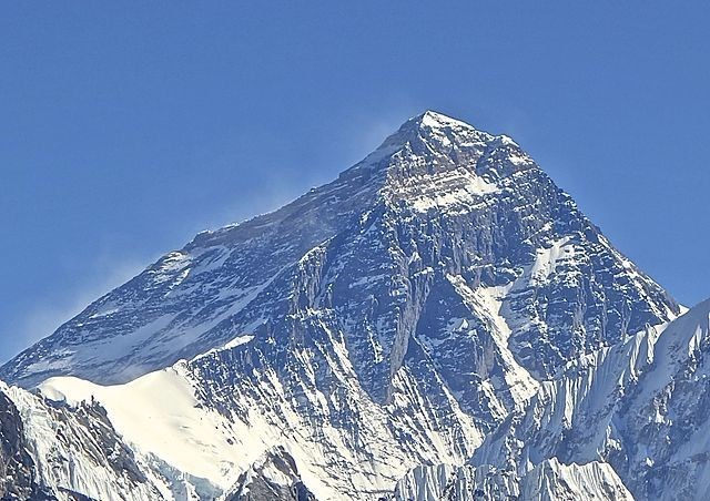
Mountain D: 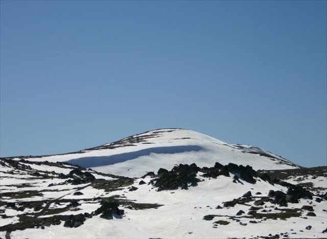
Mountain E: 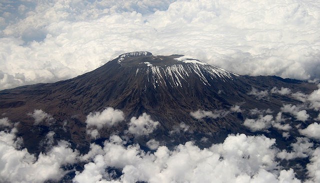
Mountain F: 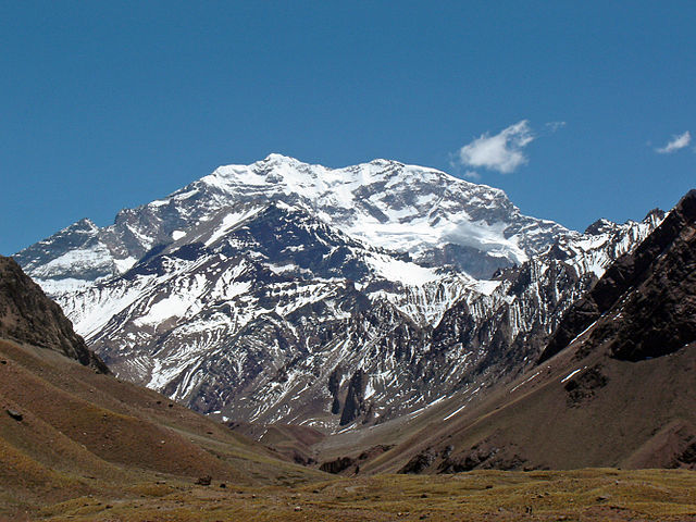
Now:
- Subtract 2 from mountain A
- Add 4 to mountain B
- Keep mountain C the same
- Add 2 to mountain D
- Subtract 1 from mountain E
- Add 1 to mountain F
And with that you will have the final coordinates of the cache, which you will find at:
S 33° 28.ABC W 070° 28.DEF
Please use the Geochecker below before trying to find it! And feel free to email me before heading up the mountain to check whether your solution is correct!
You can check your answers for this puzzle on GeoChecker.com.
All photos of different mountains are sourced from Wikipedia. All rights belong to Wikipedia.