The BLM has asked me to say this: Please do not attempt to access the area without a valid permit. Due to the overwhelming popularity of the area, the permit system helps insure the protection of the unique geologic features for current and future recreational users.
**********CAUTION**********
To reach the cache page coordinates requires some off trail route finding skills and some unroped climbing in a somewhat exposed position. If you're into rock climbing, I would hazard to guess that the climbing is somewhere between a high Class II or a low Class III grade. Gauge your abilities appropriately and remember that coming back down will invariably be scarier and more technical than going up.
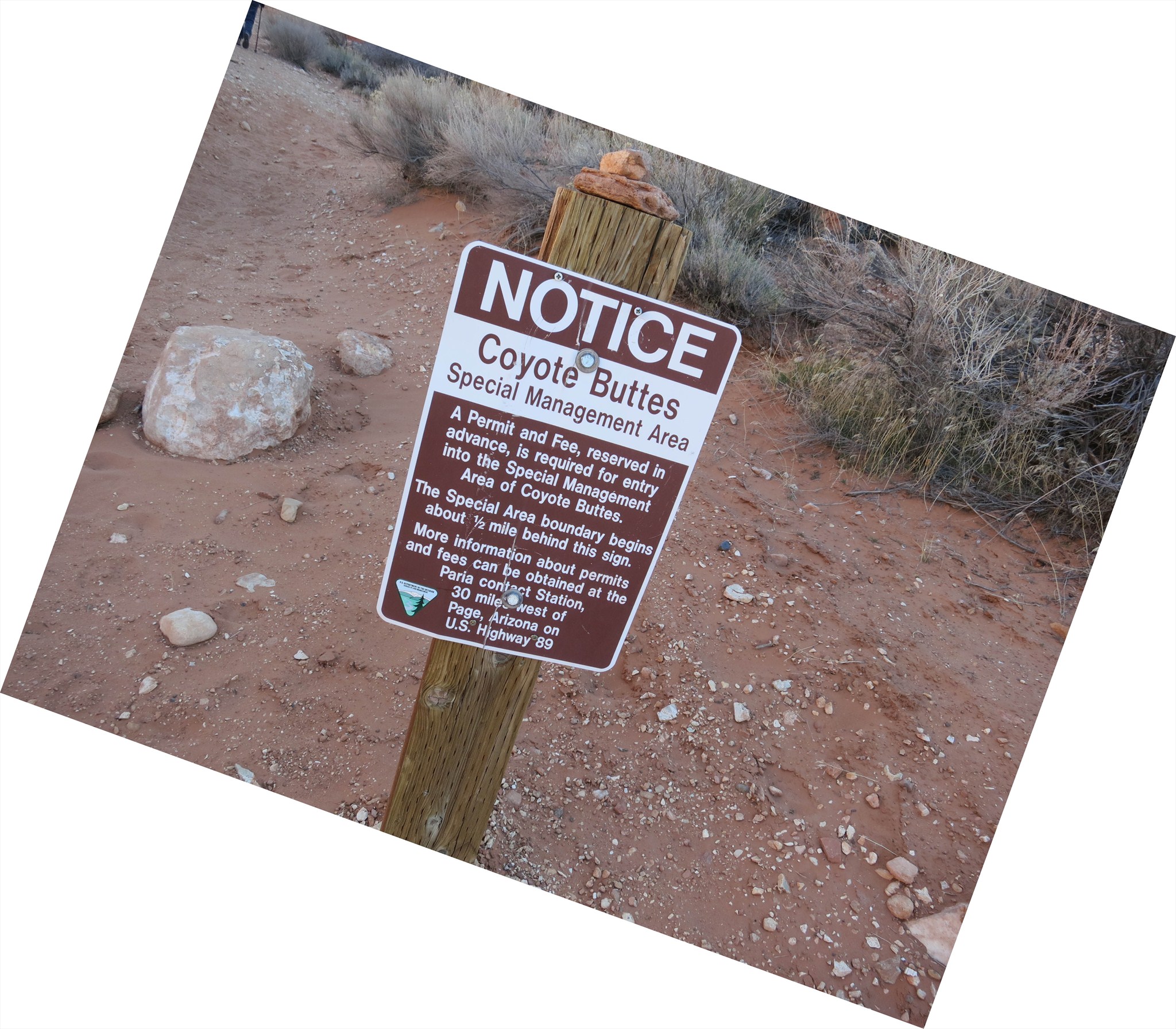 |
In order to access the Earthcache location, you will need to obtain a permit for the North Coyote Buttes area. There are two options to obtain a permit from the Bureau of Land Management, which manages the area. Please follow the Related Webpage link above, or follow the link below:
Coyote Buttes Permits
In addition to the Permit, whether by mail or one of the walk-in permits, you will also get some coaching on Leave No Trace Principles, to both enhance your visit and to protect the fragile formations in the area.
|
|
Logging Requirements
Email the following information/answers to me:
-
In the subject line, please include the following: "Nature's Hammer and Chisel GC3FFAM".
-
The number of individuals in your group.
-
Your Permit Number issued by the BLM.
-
Describe the two prominent features in the alcove.
-
Were the processes that made these features the same or different? Please explain.
-
Describe the surface on the bottom of the alcove. Is there anything unusual about it? (i.e. something else besides just sand)
|
Just a warning. The pictures above are not at the cache page coordinates, but they do help to illustrate what you might encounter at ground zero. You will pass by the above feature on your way to the Earthcache, once you gain the crest of the plateau. For reference, the pictures above are of an area called The Alcove. The Earthcache location is located approximately 1/10 of a mile from The Alcove, at approximately the same level. Staying low and traversing on the plateau is easier than trying to climb above The Alcove and traversing the ridge (...believe me, I tried ).
A couple of definitions for you...
lith·i·fi·ca·tion : The process or processes by which unconsolidated materials are converted into coherent solid rock, as by compaction and cementation.
mon·o·cline: A geologic structure in which all layers are inclined in the same direction.
eo·lian: Carried, deposited, produced, or eroded by the wind.
Nature's Hammer and Chisel
I may not have mentioned before, but welcome to a very small portion of the East Kaibab Monocline! The East Kaibab Monocline runs some 150 miles from the Grand Canyon to Bryce National Park. But that's not where our story begins, I'm afraid.
Lithification
The groundwork, so to speak, began with the great Erg, or sand sea desert, that covered the quad State area of Utah, Colorado, Arizona, and New Mexico. Layer upon layer of sand and clay were set down during the Jurassic Period, some 180-190 million years ago. As mentioned in the nearby Earchcache located at The Wave, you are standing on the Navajo Sandstone Unit, which comprises the largest of these layers. The process of lithification, or turning an unstable material into solid rock, took millions of years. However, this set the stage for the next process...
The East Kaibab Monocline
As mentioned earlier, the Monocline stretches a very long ways, across the Colorado Plateau, and for all intensive purposes, appears to be nothing more than a high ridge, stretching South to North, along a rather flat stretch of High Desert. The USGS, describes the East Kaibab Monocline in the following scientific terms:
"..a compound flexure downthrown 2000 to 5000 feet on the east side.."
Which, in simpler terms, means that there was a fold in the Earths Crust, which forced a portion of the Navajo Sandstone Unit up, causing this "ripple" of rock to be forced upwards. However, this set the stage for the next, and probably most spectacular process...
Eolian Winds
There are literally thousands of amazing rock features that litter the East Kaibab Monocline. We have two forces of nature to thank for the majority of these: Water and Wind. Water tends to seek the lowest most passive route when sculpting rock. The nearby Buckskin Gulch and Paria Canyon are two nearby features of note, that have water to thank. But the wild wind, without a doubt, plays a major part in sculpting the landscape of Northern Arizona and Southern Utah. On the plateau above The Wave, you will see countless spires, hoodoos, tanks and alcoves that are the result of this work. Brought on large part, by the wind, and it's ability to pick up small particles (i.e. sand), which acts as an abrasive to chisel away at the weaknesses that it finds.
At the cache page coordinates, you will find evidence of the power of this force on the relatively soft sandstone features. Please tread lightly in the area, as paper thin fins of sandstone rock are abundant, and once damaged, cannot be replaced.
References and further reading:
"Rainbow of Rocks", by Marjorie A. Chan and William T. Parry; Department of Geology and Geophysics, 135 S. 1460 E. University of Utah, Salt Lake City, UT 84112-0111. Public Information Series 77; Utah Geologic Survey, a division of Department of Natural Resources
"Scenes of the Plateau Lands and How They Came to Be", William Lee Stokes; 1969, 20th printing. Starstone Publishing Company, 333 J Street, Salt Lake City, UT 84103.
GEOMORPHOLOGYAND STRUCTURE OF THE EAST KAIBAB MONOCLINE,ARIZONA AND UTAH, by Donald L. Babenroth and Arthur N. Strahler. Bulletin of the Geologic Society of America.
Wikipedia, The Wave
Bureau of Land Managerment, North Coyote Buttes Permit Process.
Leave No Trace Principles.