 [DE]
[DE]
Bayern, weltweit bekannt für das wunderschöne Schloss Neuschwanstein oder das rauschende Oktoberfest in München. Doch wer hat schon einmal von dem geologisch tiefsten Punkt in Bayern gehört?
An der Kahlmündung zum Fluss Main liegt heute der mit 102,3 m ü. NN tiefste Punkt Bayern's. In ihrem natürlichen Zustand floss der Fluss Kahl etwas nördlich der heutigen Mündung in den Main. Jedoch wurde das Flussbett des Kahls zwischen 1900 und 1930 mehrmals verändert, um im anliegenden Gebiet Braunkohle abzubauen.
Empfehlenswert wäre es, diesen Caches zusammen mit dem Multi (GC6PDX0: Bayern's tiefster Punkt) vom Cacher >Doppelherz< anzugehen, welches die gleiche Thematik aufgreift und gut mit diesem Cache zu kombinieren ist.
Wenn ihr Bayern's tiefster Cache gelogt habt, dürft ihr folgenden Banner gerne in euer Profil einfügen!
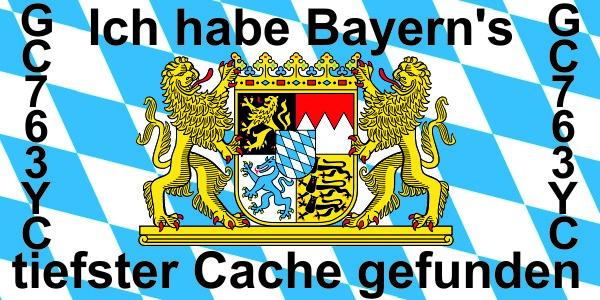
Um den Banner in euern Profil einzubinden, kopiert bitte den unten angezeigten Text und fügt den Text in euern "Profile Details" ein. Eingestellte Größe des Bildes ist 300 pixel x 150 pixel:
<a href="https://coord.info/GC763YC" target="_blank"><img title="Tiefster Cache Bayern's +102,3 m ü. NN" src="https://img.geocaching.com/cache/large/5eedff83-5589-4c1c-84b5-f1565e87c829.jpg" style="width: 300px; height: 150px;" border="0" /></a>
 [EN]
[EN]
Bavaria, worldwide known because of it's beautiful castle Neuschwanstein or it's Octoberfest in Munich. But who knows the geological lowest point within Bavarian?
Near the mouth of the river Kahl you can find nowadays Bavarian's lowest point with only +102.3 m. NN. Originally the river Kahl flowed slightly north of today's mouth into the Main, but the bedding of the river Kahl was changed several times between 1900 and 1930, due to the surface mining of brown coal.
It is recommend to combine this cache with the multi cache (GC6PDX0: Bayern's tiefster Punkt) of the geocacher >Doppelherz<, which has the lowest point of Bavaria also as topic.
If you have logged Bavarian's lowest cache, you are allowed to upload this banner into your profile!
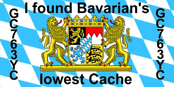
To insert this banner copy and paste the complete text shown below into your "Profile Details":
<a href="https://coord.info/GC763YC" target="_blank"><img title="Bavarian's Lowest Cache +102,3 m ü. NN" src="https://img.geocaching.com/cache/large/fe1afd8a-1105-4b3f-a5cc-af4062a4c30d.jpg" style="width: 300px; height: 150px;" border="0" /></a>