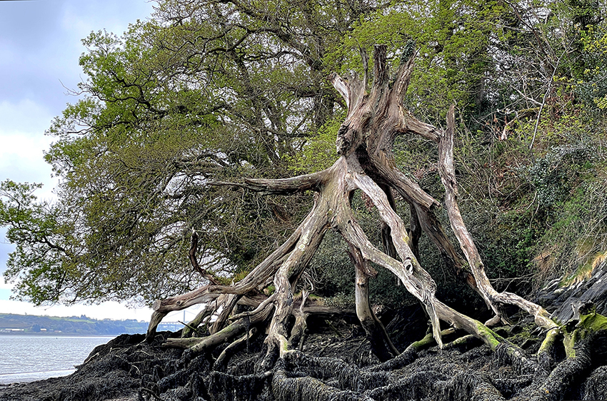
The Tamar Foreshore Tree Monster - The Shape of Things to Come
Treebeard, aka Fangorn, the eldest of the Ents, in all his magnificent and terrifying glory
(Not a Spoiler Image)
Caches 1 through to Cache 10 are located within the Tamar - Tavy Estuary SSSI. We are grateful to Natural England for their kind permission allowing Team Lankidden to place these Caches along this section of the River Tamar foreshore.
The Start of a Unique River Tamar Trail
The Cargreen Foreshore
Being as the path along the foreshore floods to a certain extent on every tide, most of the Terrain, and some of the Difficulty will be fairly challenging. There are two pinch points of which to be aware. Neal Point, and to a slightly lesser degree Weir Point, WILL BE IMPASSABLE ON ALMOST EVERY TIDE. A through passage is usually only possible less than an hour either side of a LOW SPRING TIDE. Research into Low Water Spring Tide times is essential BEFORE attempting this Foreshore transit. This is a link to a PDF listing the dates of the low Spring Tides for the rest of 2023. www.lankidden.com/Low Water Spring Tide Times 2023.pdf The link is also included on the Cache 1 Page. Check out the "My Tide Times" App for accurate Cargreen Low Water times.
A Spoiler Image has been uploaded for each of the ten Foreshore Caches, as one decaying tree stump or steeply angled rock face looks much the same as any other, and if taking too long to search, there could then be a danger of running short of the time remaining to beat the incoming tide.
Bear in mind this foreshore Public Footpath is something over a mile in length, and by it's very nature, this could be a hazardous trail. It could also take longer than allowed for in planning. The terrain varies from an easy fine gravel, to slippery broken slate, rocks, and seaweed, plus mud, quite possibly deep mud, all of which can be very slippery, and keen to upset, or bog down, the unwary. There are also an inordinate number of fallen trees to be climbed over, or scrambled beneath. Due care HAS to be taken on the foreshore, with adequate planning to allow time to walk all of the foreshore footpath and to find all ten of the foreshore Caches. It could well be impossible to reverse the trail back to the start point.
Finally, if intending to complete the Trail in one visit, although it can be walked in either a Landulph - Cargreen, or Cargreen - Landulph direction, it would be wise, if tackling the foreshore path from here at Cargreen, while taking into account the Low Water Spring Tide times, planning should allow time to clear Weir Point as soon as the falling tide allows.
See the Parking Waypoint if starting the trail here in Cargreen. There is off street parking for 4/5 cars.
Spoiler
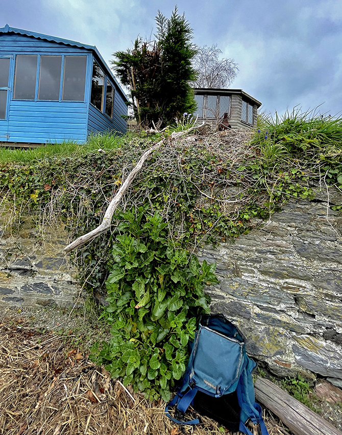
The Cache itself is a simple plastic nano