This
earthcache is located on Penwortham Bridge. Here is located a
critical outcrop of Triassic Period sandstone.
The Triassic is a
geologic period and system that extends from about 251 to 199 Ma
(million years ago). As the first period of the Mesozoic Era, the
Triassic follows the Permian and is followed by the Jurassic. The
outcrop here at Penwortham Bridge is of sandstone composition. Like
the site of Roach Red Rocks, this type of Sandstone is arkoses and
is 25% feldspar. This type of sandstone is common in the west of
England.
Penwortham is a town and civil parish on
the south bank of the River Ribble facing the city of Preston,
Lancashire. The town is at the most westerly crossing point of the
River Ribble, with major road and rail links crossing
here.
The distinctive town name is derived from
pen (meaning a hill), weid (meaning ford) and ham (meaning
settlement). Penwortham is one of the largest civil parishes by
population in Lancashire, with population of approximately 23,436
recorded in the 2001 census.The town's development mirrors closely
that of Preston.
The town of Penwortham is part of the
Borough of South Ribble and its history can be traced back to
pre-historic times with archaeological evidence showing that the
ford at the Middleforth area was used to cross the Ribble.
Penwortham was listed in the Domesday Book as "Penverdent" and
Penwortham Priory was built in the west of the town. A simple
motte-and-bailey castle was built during the post-Norman conquest
period overlooking the Ribble and its ford. Some evidence of this
castle is still evident in the churchyard of St Mary's Church. In
later centuries a manor house was built, but no evidence remains
today.
The Middleforth (Lower Penwortham) area
was developed during the Victorian period which is evidenced by the
large number of terrace housing standing along Leyland Road and
surrounding side streets. Higher Penwortham is characterised by
1920s and post-war semi detached housing. In recent times there has
been several new housing developments, especially around the Bee
Lane, Kingsfold Drive, Stricklands Lane and Factory Lane areas of
the town.
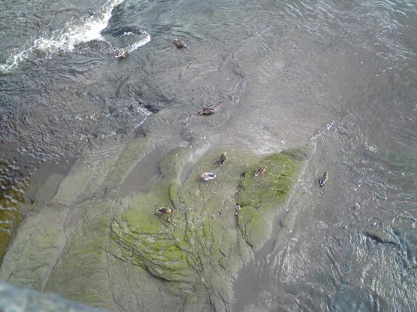
The Outcrop is on the left hand side of
the bridge if you are looking towards Leyland Rd from the Bridge.
It may or may not be visible due to River level hence the
difficulty and it is also quite vegetated.
In order to claim this earthcache,
1) Take a picture of the Sandstone Outcrop
including you or your GPS
2) Estimate the width of the exposed
outcrop.
3) Name 2 divisions of the Triassic
era.
Please Email me all your answers by
clicking on my user profile and selecting "Send
Message".
All photographs should be included on
logs.