Long before we started geocaching we would take long drives in the country on scenic back roads. We would always wonder what was around the next curve or over the next hill, and we would come to an intersection and make a quick decision about which way to go. It was on one of these occasions when we were driving my father around that we came upon Klempay Road and the stunning view of "Rows of Red Maples".
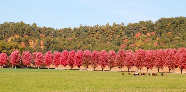
How long did it take to plant all of these trees? How long have they been growing here to reach their current height? What would the trees look like at different times of the year? From that point on, we would plan drives every so often to see the rows of trees. While the trees are unique and interesting during all seasons, they are spectacular for about two weeks each October when they all turn a vibrant red. Even after the leaves start to fall, those that linger on the branches are still a sight.
The listed coordinates will take you to the entrance of the tree-lined driveway here. Do not enter the drive! Look at the two signs by the drive: One has thirteen letters and four numbers written on it, the other has fourteen letters and four numbers. You will be getting your information from the 13-letter 4-number sign, and that sign is now on the west side of the driveway. For each step, you will be counting all the indicated letters on the one sign and/or you will be looking at the positions of the digits. You may have to do some simple math on some steps, too. If you do each step correctly, you will have the coordinates of the final location of the cache container. You can check your answers for this puzzle on GeoChecker.com.
NOTE:
The following puzzle is in an image format.
You can find this at the bottom of the cache listing in the gallery.
Make sure that if you are going paperless you have this image with you in some way, shape, or form.
