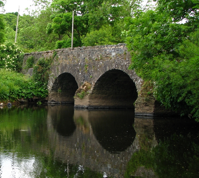
The Lagan Canal
In 1756 the Commissioners of Inland Navigation for Ireland began
work on the Lagan Navigation. Thomas Omer was appointed engineer in
charge. In constructing the navigation, Omer opted to improve the
existing river channel where suitable and to create a new 'cut' or
canal where the natural water course followed large loops or
meanders. Within a year a navigable channel existed from Belfast to
Drum Bridge and by September 1763 this extended to Lisburn. The
official opening took place among scenes of great enthusiasm and
the first lighter to make the voyage was the 'Lord Hertford'
carrying 45 tons of coal and timber.
Traffic on the canal increased throughout the 19th century but,
eventually, competition from first rail then mechanised road
transport caused a serious reduction in use. This understandable
change was made more severe by the effects of the First and Second
World Wars. After 1947 there was no canal traffic above Lisburn.
The Lagan Navigation Company was dissolved in 1954 and the canal,
between the Union Locks and Lough Neagh, was officially abandoned
for all navigational purposes. The Lisburn to Stranmillis section
remained open for a short time longer — It was closed in 1958.
Control of the canal passed to the Government which, through the
Department of Agriculture, carries out such works as are necessary
for drainage, flood prevention and public safety.
Most canals were built before the development of mechanical
propulsion. The only methods were therefore human or animal power,
or the wind. Sailing vessels were once common on some rivers and
canals in Great Britain, but on the Logan the principal method of
traction was almost exclusively the horse — in later years some
motor lighters were in use.
Each barge or lighter required a crew of at least two men — one
to lead the horse and one to steer the barge. It seems remarkable
that a single horse could pull, even if only at walking pace, a
laden barge weighing up to 85 tons. Such was the ease of water
transport. The horse could not, of course, walk directly in front
of the barge as it would in front of a cart. Rather, the barge was
steered to remain in mid-stream while the horse, walking along a
path by the side of the canal, pulled the barge by a long tow rope.
The path was known as the towing path, or towpath for short. And so
it remains today, even though the barge horses completed the long
haul many years ago.
The condition of the towpath deteriorated rapidly after the
canal closed, although certain lengths remained popular as walks.
When the Lagan Valley Regional Park was set up, in early 1967,
restoration of the towpath was actively encouraged.
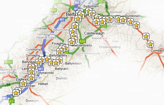
With over 500,000 recorded visits a year, the 12-mile Lagan
Towpath connecting Belfast with Sprucefield (Lisburn) qualifies as
the most popular public pathway in Northern Ireland.
The MournesRambler II Series
There are currently 24 caches in the MournesRambler II series
which is designed to lure you away from the bright city lights
along the Lagan Towpath:
The recommended mode of transport for this series is a bicycle,
but it should also be quite feasible to complete it on foot. Have
you found them all? If you have done them all one after the other
please let us know (in your log entry) how long it took you so that
others will know roughly how long it might take them.
The "Over the river from Lady Dixon" cache
The cache itself is a little aluminium container about the
length of a 35mm film canister but smaller in diameter (and well
camouflaged). It only contains a log, so please bring your own
pen/pencil.
The camouflage is not very robust. Please treat it with care and
make sure it is quite secure when replacing it.
This area is frequented by muggles so please use discretion when
hunting for and replacing the cache.