ALLEGHENY NATIONAL FOREST DISCOVERY SERIES
Each of the earthcaches in this series will take you along roads and trails
to discover the wonders that exist in and around the ANF.
Elk - Forest - McKean - Warren
This discovery series was developed as a heartfelt THANK YOU to all who completed the requirements as requested, and wrote positive logs worth the time to read. Complete 24 ECT caches. Send a list of logs (GL links) via message for verification of requirements. Arrange to meet at Cache Condo to pick up your trackable coin.

EARTHCACHE REQUIREMENTS
Each cacher must send his/her own answers BEFORE logging a find. Enjoy the journey (learning adventure) as well as the destination (smiley earned). Remember to take only pictures and leave only footprints. To get credit for this Earthcache, complete the following tasks:
NOTE: Answers via message -and- log signature picture are required to post a find for this cache.
1. MESSAGE …. Based on the reading ..... a. Native American name of the creek? ... b. Part of what watershed?
2. MESSAGE …. Based on observations at the posted coords .... a. Direction water is flowing? ... b. Estimate width of creek? ... c. Estimate height of retaining wall.
3. MESSAGE …. Based on research and/or personal experience... Why is the retaining wall only seen in downtown Bradford? You can visit the nearby Pitt Trail and there is no retaining wall.
4. MESSAGE …. The picture shows another time the Tuna overflowed its banks. What year was the picture taken? (Dec 1st .... )
5. MESSAGE …. The retaining wall was built to prevent the Tuna from overflowing its banks and flooding Bradford. Is Bradford using any of the other measures detailed in Prevent Flooding? Explain with examples.
6. LOG …. Post a picture at or near the coordinates. Post a picture of your body of water. These pictures are your log signature. No spoiler pics.
OPTIONAL - Please respect the time and effort involved in finding and creating this earthcache by adding A B C to your log.
A. Discover another body of water in/around the ANF, Give coordinates. Identify (river, stream, etc.). If found at a geocache/earthcache site, post picture with name of the cache and GC number instead of cooordinates.
B. JOURNEY OF THE MIND ... Science explains what we observe. Relate (in your own words) something you found interesting in the reading. This adds to your learning adventure and your log.
C. JOURNEY OF THE HEART ... Art shares our personal experience of what we see. Share something special you found on site, and why it is special to you ... prose / story / poem / picture. This is a memorable addition to your log and will make other hearts smile.
Journeys of Heart and Mind ...
Stories to Touch the Heart and Puzzles to Challenge the Mind / Rainbow Tree Story
THANK YOU LN for travelling and hiking with RT to complete this Earthcache Trail.
TUNUNGWANT CREEK
The Tunungwant Creek is divided into two second-order streams (East Branch and West Branch) which join together and flow into a third-order stream (Allegheny River). The Tunungwant Creek is part of the Allegheny River watershed.
The bedrock in McKean County is predominantly sandstone and shale. The relatively shallow depth at the posted coordinates give you a good view of the creek bed. Here you can easily observe the broken sheets of shale along the bottom of the creek, edges rounded due to the action of running water.
FLOODING
The most significant natural feature of Bradford is the West Branch of the Tunungwant Creek, whose Native American name has been anglicized to "Tuna" Creek. This waterway flows into the northern portion of the district from the west and meanders eastward toward the main branch of the creek, with which it intersects just east of the district. Tuna Creek is subject to flooding and has been the focus of flood control activities for decades.
1946 ..... The usually timid Tuna Creek has turned into a flood monster time and again in Bradford’s history, but Monday night the old stream surpassed all previous performances as it staged probably the wildest time of its life. Bradfordians who have been close to the challenge of the Tuna for more than 50 years were of the opinion this one topped anything that has gone before.
(http://www3.gendisasters.com/pennsylvania/9914/bradford-pa-flood-may-1946?page=0,1)
1999 .... "You think about a normal flood where the waters are rising," he said. That isn't what happened in Bradford - which sits in a valley. All the water ran off the hillsides and slammed into the backs of houses, causing huge amounts of damage. The water never went over the Flood Control Project," he said. "I remember thinking how fortunate the city of Bradford was that the Flood Control Project was in place. It absolutely paid for itself in that one event."
(http://www.bradfordera.com/news/article_c1e6665d-a90f-59a4-86e6-70d2213af038.html)

RETAINING WALL
A concrete retaining wall can be observed along the Tuna only in downtown City of Bradford. This is a series of evolutionary flood control retaining walls, reflecting mostly post-1950 work.
WATER CACHES
All the water caches are a THANK YOU
to Earth Mother for her life-sustaining waters.
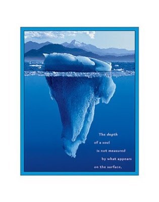
The depth of a soul is not measured by what appears on the surface.