This is a puzzle cache and is not at the posted coordinates.
Please solve the following puzzle to learn its true location.
Isolation Station
Tillamook Rock Lighthouse
An Exploration
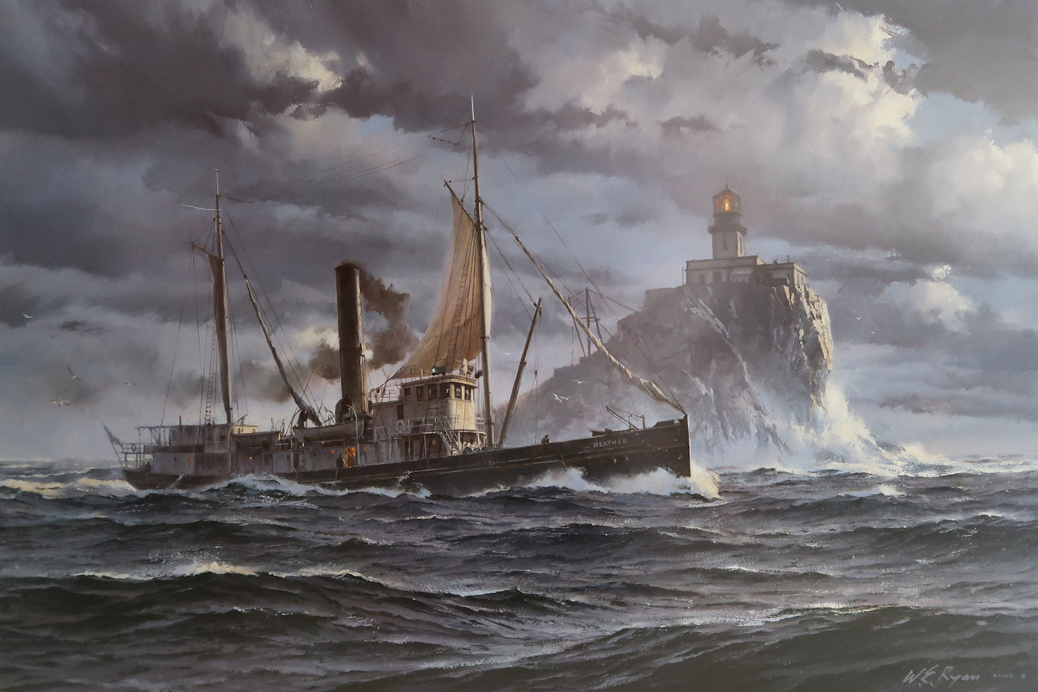
Winter Delivery, a painting by William E. Ryan
The U.S. lighthouse tender "Heather" as she circles Tillamook Rock Light Station
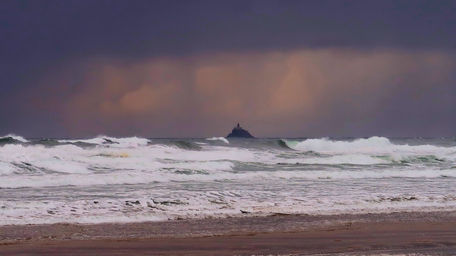
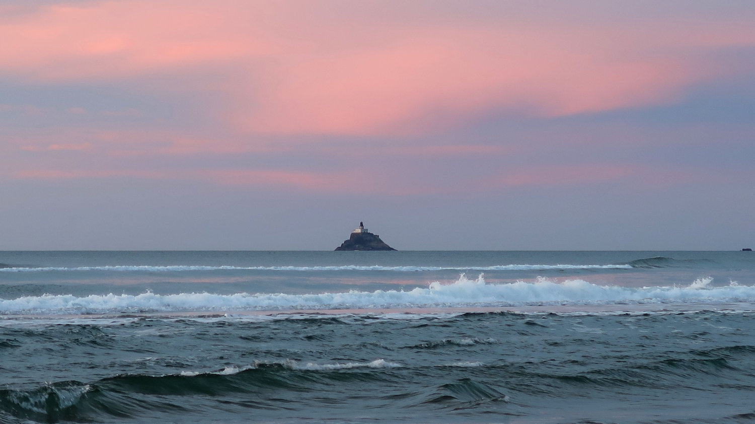
Tillamook Rock is the site of a decommissioned lighthouse located on a tiny island one mile out to sea off the rugged shores of Tillamook Head on the North Oregon Coast. Although not particularly far from Cannon Beach and Seaside, its very rugged location made it a true Isolation Station.
View some pretty cool videos and answer a few questions to solve this puzzle and learn the location of the cache.
First, visit "Terrible Tilly" from above with Google Earth: N 45 56.236 W 124 01.131
Zoom in close and note the new keepers of the light: Sea lions!!
Be sure Google Earth is oriented with North straight up (Click the "N" in the upper right corner). Looking down, the front of the lighthouse and main entrance are on the right side of the building. About what angle is the building facing?
18 degrees (A = 47)
106 degrees (A = 25)
348 degrees (A = 60)
152 degrees (A = 36)
Note: For the purposes of this puzzle, assume the front of the lighthouse is facing due east.
Make sure "Terrain" is checked and move the cursor around between the island and the shore of Tillamook Head. Note the elevation ("elev") in the lower right corner. Negative numbers indicate the approximate ocean depths. What is the rough maximum depth of the ocean between the Light and the shore?
150 feet (B = 39)
390 feet (B = 18)
72 feet (B = 83)
620 feet (B = 41)
Note that Google Earth doesn't sense you are above sea level when cursoring over the island itself. It was likely constructed at the pinnacle of a spire of rock, dropping away on all sides to significant depths.
Click for a Good View and Identification of the Layout of Tillamook Rock Lighthouse
Which of the following would likely aid your arriving at the lighthouse?
A cornicione float (C = 80)
A breeches buoy (C = 34)
A zarf line (C = 29)
A lemniscate craft (C = 55)
A griffonage conveyor (C = 77)
The long staircase leading up to the main building is called a tramway in this view. You'll get a good view of that staircase in a minute. I used the Google Earth Ruler Tool to measure the length of the staircase at 85 feet.
If you were a fitness-oriented lighthouse keeper, you would not need to invest in a stair climber machine! In fact, one keeper, a Mr. Fitan Strong, was in the habit of completing 50 reps per day down and up the entire staircase. Rounding to the closest mile, how many total miles would he have traveled in a 21-day tour of duty?
D = Number of miles
Click to View a High Resolution Voyage to the Lighthouse (YouTube)
Double-click the video for full-screen mode. Single-click to pause. Big monitors really add to the experience!
How many gray bricks/blocks frame the entrance door? (Don't count the less-distinct ones at the same level as the top step)
E = Number of bricks/blocks
As stated in the entrance plaque, in what year was the lighthouse erected?
F = Last two digits of the year
How many corbels support the east side of the upper balcony (with the railing around it)?
G = Number of corbels
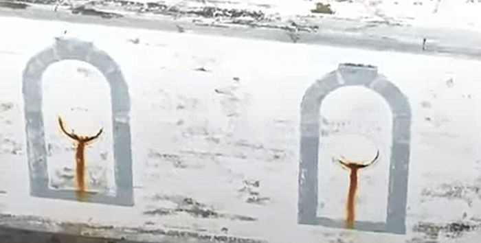
On which side of the building do you see the following image?
North (H = 132)
West (H = 93)
South (H = 159)
East (H = 175)
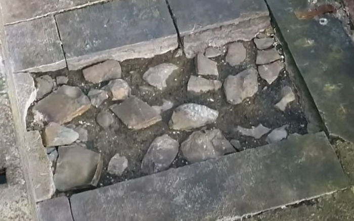
On which side of the building can this rock collection be found?
North (I = 116)
West (I = 208)
South (I = 157)
East (I = 192)
What was the drone's takeoff and landing area?
Arcadia State Park (J = 101)
Cannon Beach (J = 56)
Seaside (J = 89)
Ecola State Park (J = 78)
Hug Point State Park (J = 92)
How many cars and trucks are in the video (at least one is almost hidden behind another)?
K = Number of cars and trucks
The lighthouse is visible (on a clear day!) from most of Cannon Beach and Gearhart, but only from part of Seaside due to Tillamook Head blocking the view from many Seaside locations. Assume you are walking north along the Seaside Promenade starting at Avenue U. At what point will Terrible Tilly become visible? (You can use Google Earth for this one, and the Ruler Tool is very useful for drawing lines).
Avenue S (L = 170)
Lewis & Clark Way (L = 70)
Avenue G (L = 128)
Avenue E (L = 81)
3rd Avenue (L = 189)
7th Avenue (L = 153)
11th Avenue (L = 39)
-----------------------------------
Add your answers for A - F to get XXX.
Add your answers for G - L to get YYY.
The cache is at:
N 46 01.XXX W 123 55.YYY
Click Here to Verify Your Solution
If it is a clear day and you stand tall and look to the southwest, you should see Terrible Tilly from the cache site. Please say hello!
Click for Another Fantastic Video of the Surf Around Tillamook Rock
The best viewpoint for the lighthouse is near Guardians of the North Coast, also a good location for the Virtual, Terrible Tilly.
A few books have been written chronicling the history and operation of the lighthouse. They are fascinating, and I recommend further reading. You can often find such books at North Coast bookstores.