The West Midlands region is comprised of 6 counties:
 Herefordshire (GC3CFPX) - now archived.
Shropshire (GC3CFQ0) - now archived.
Staffordshire (GC3CFQ7)
Warwickshire (GC3CFP8) - now archived.
West Midlands (GC3CFPD) - now archived.
Worcestershire (GC3CFQ6) - now archived.
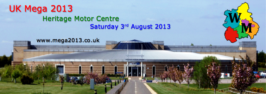
Each of these 6 counties had a cache hidden within it, containing one of six puzzle pieces used to solve a Bonus Cache (GC3CFN0), which was hidden close to the venue of the UK Mega 2013 - Heritage Motor Centre.
This cache can be found by solving the puzzle below and by looking at this trackable:
 UK Mega 2013 - Staffordshire.
The trackable will give you the missing part of the westing and this puzzle will give you the missing part of the northing:
Staffordshire is a landlocked rural county and borders seven different counties – how many can you name? The county is dominated by the River Trent, which flows from Stoke-on-Trent in the West through Stone, Lichfield and Burton in the East. North of this river the land is very hilly with wild moorlands and part of the Peak District National Park, including the highest village in Britain (Flash). South of this river the land has gentle hills and was once covered in vast forests, a remnant of which can be seen in the National Forest near Burton, and also in Cannock Chase an area of outstanding natural beauty now that the industry has departed. The largest city is Stoke-on–Trent, the county town is Stafford, and let’s not forget the Cathedral City of Lichfield.
Since Roman times the area has been dominated by peoples wishing to travel North (the Celts), West (the Vikings), South (the Northumbrians), and East (Beer drinkers headed to Burton!). The county is the crossing point of the Roman Road to Chester (Watling Street, which later became Telford’s road to Holyhead, now the A5) and the Roman road to Lincoln (the Saxon Fosse Way, now the A38). Stuck in the middle were the Mercians, who dominated the whole region and whose capital moved between various towns in Staffordshire. In 2009 the largest ever hoard of Anglo-Saxon gold was found in the county, dating from the time of Mercia – maybe you know it as the Staffordshire Hoard? More recently the county became important in the Industrial Revolution, and today is known as “The Creative County”.
Coal, Pottery, Beer, Quarrying, wartime airfields, and JCBs are all great examples of Staffordshire’s industrial heritage. Sadly most if not all of the coal mining has gone from the county, as has the pottery – Wedgwood, Spode, and Royal Doulton all having had problems in recent years. Beer has been brewed in Burton for hundreds of years, most famously by Bass, whose red triangle was Britain’s first registered trademark. Beer is still brewed at the Bass brewery in Burton under the Coors label, but there’s not much quarrying for limestone in the Peak District any more. Whenever you fine a rural industrial estate in Staffordshire, it’s most likely one of many airfields and suchlike that sprung up during the war. If you want to be impressed by rural industry, look no further than the massive JCB works off the A50 near Uttoxeter, now one of the county’s main sources of income. Perhaps a better reason to come visit the county is the National Memorial Arboretum, or perhaps a fun day out at Alton Towers and Drayton Manor Park!
This cache can be found by solving the puzzle below and by finding the Staffordshire Mega Trackable - The trackable's tag will give you the missing part of the westing and this puzzle will give you the missing part of the northing:
A = What is the modern A Road number for Watling Street in Staffordshire?
B = How many letters in the surname of the discoverer of the Staffordshire hoard?
C = In what year did Æthelred of Mercia beat Northumberland in the Battle of the Trent?
D = How old was Josiah Wedgwood when the Bass brewery in Burton was founded?
E = How many Spires does Lichfield Cathedral have?
The cache is located at:
N52 (D-E) . (C+A-B)
W 001 58.XXX
XXX is the 3 digit number related to the Staffordshire trackable.
The co-ordinates at the top of the page are for the suggested parking which is a pay and display car park and will cost you £3 for all day, there is other free parking available. If you do use the car park please make note of the closing times before you leave your car.
Finally, I would like to thank Robert Lamb (Visitor Services Assistant) for the Forestry Commission, for giving me permission to place this cache.