Trails map type now in Geocaching® app
Some of the best geocaches are found off the beaten path.
Like this one…

…and this one….

…and definitely this one.

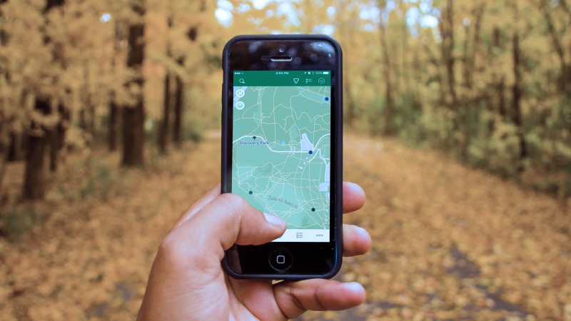
With our latest Geocaching® app update, we added the Trails map type to help you find these hard-to-reach geocaches and to find the caches hidden right in your neighborhood park. This feature uses open-source maps to show trails in cities, parks, and wild spaces.
Here’s a peek inside the app:
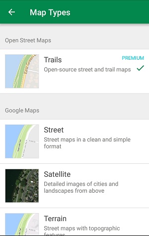
Select your preferred map type.
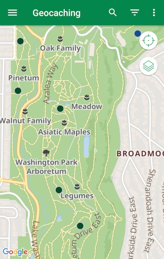
Navigate to a geocache using Trails.
Get the app.
Do you have tips for finding geocaches in rugged terrain? Tell us in the comments below!
