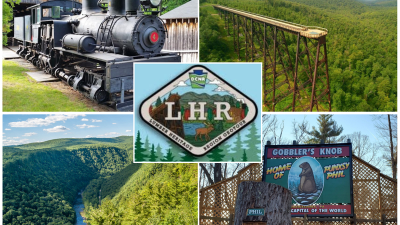
Lumber Heritage Region GeoTour (GT505) invites geocachers to discover the forests, rivers, historic towns, and iconic landmarks of North-Central Pennsylvania. Spanning 15 counties across the Pennsylvania Wilds, this GeoTour of 23 geocaches showcases the people, places, and stories that helped shape the region’s rich lumber heritage.
Tag: GeoTour
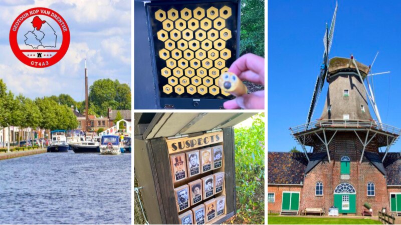
Kop van Drenthe GeoTour
Kop van Drenthe GeoTour (GT4A3) invites you to discover all of the stories the area has to offer. Wandering through the region, geocachers will find 73 geocaches hidden among the secrets in the vast landscape.
Follow their stories of the village of Veenhuizen, visit the Mensinge estate, or discover the estates of the wealthy Groningers. Enjoy the hidden streams and lakes, spot a Scottish Highlander, and wander through the ancient Esdorpen landscape.
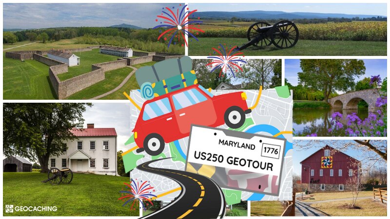
Heart of the Civil War Heritage Area US 250th GeoTour
Have a thirst for history?
The Heart of the Civil War Heritage Area US 250th GeoTour (GT4FF) offers a fascinating look into American history through puzzles, problem-solving, and, of course, geocaching.
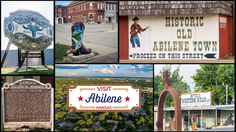
Visit Abilene Kansas GeoTour
Giddy-up, because we’re about to take a trip to the Wild West with the Visit Abilene Kansas GeoTour (GT4FD)!
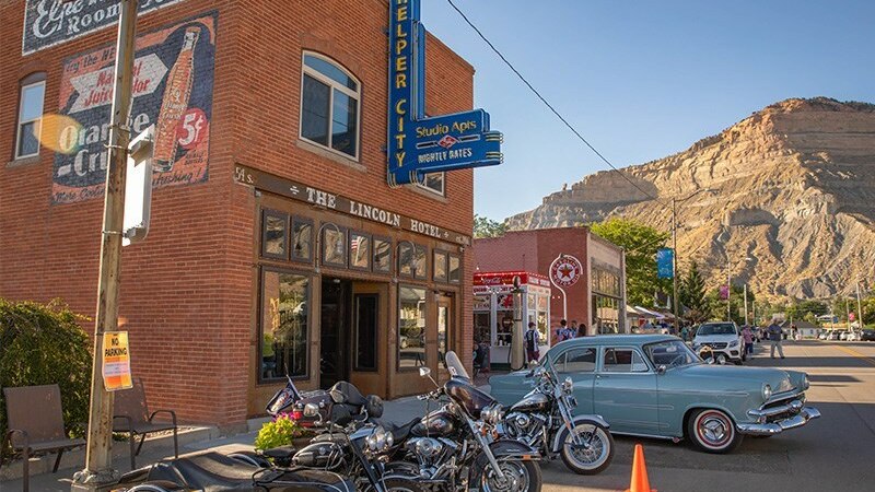
Carbon Corridor SPX GeoTour
Carbon Corridor SPX GeoTour (GT4D7) invites you to journey through Carbon Corridor, Utah, with the SPX GeoTour. This GeoTour of 35 geocaches takes you on an adventure through some of the must-see hidden gems of Utah.
Geocachers will discover all the fantastic adventures the Carbon Corridor has to offer through this GeoTour. From a hidden tunnel painted with fresh artwork to the roots of mining in the area, you never know what you will discover at the next geocache!
