Geocaching along El Camino de Santiago, Spain

By Jenn Seva

Geocaching Along El Camino de Santiago, Spain

Have you ever wanted to go on a pilgrimage?

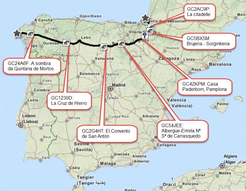
Just as summer turned into autumn, I was fortunate enough to walk across Spain. Literally. Those 1,043 km took me over 3 mountains, flat through 7 days of the exquisite meseta (plateau), and across more than a thousand years of Spanish Catholic history. Those kilometers also brought me conveniently near several remarkable geocaches. And bonus: two new country souvenirs! This pilgrimage is called El Camino de Santiago.
I began my 38-day walk in the misty French town of Saint-Jean-Pied-de-Port, nestled in the foothills of the Pyrenees. Although I had gotten a late start that morning, I still walked against the pilgrim traffic towards the cache at La citadelle to earn my France souvenir: magnifique! Later that day, I walked from France into Spain, over the Pyrenees.

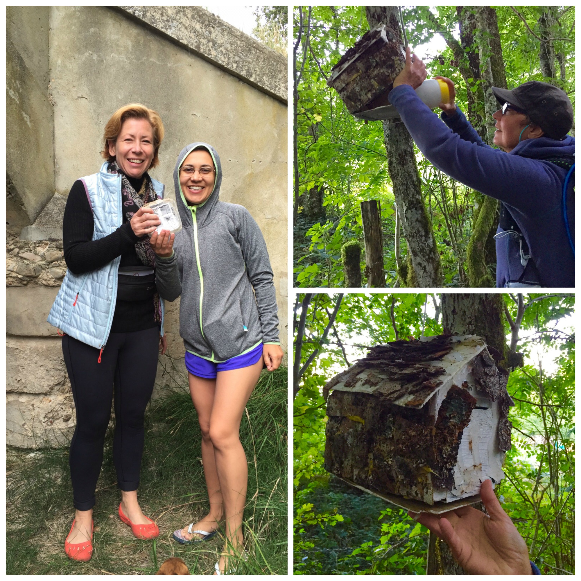
Clockwise from left: Karin and Milene find a cache together, Amber finds her 1st geocache.
Clockwise from left: Karin and Milene find a cache together. Amber finds her 1st geocache.

On the second day, my new friend Amber asked me what this game is all about. The best way to explain geocaching is to show it, of course! At first, we DNF’d at Caminante No Hay Camino… which is ironic given what that cache title means. We found success at Brujeria – Sorginkeriamaravilloso! – and only because this Dutch woman also speaks Spanish and helped me understand that the hint (pío, pío) is about birds: something not immediately obvious to a non-native Spanish speaker like me. Amber’s first find had a very creative container, and we secured that additional country souvenir.

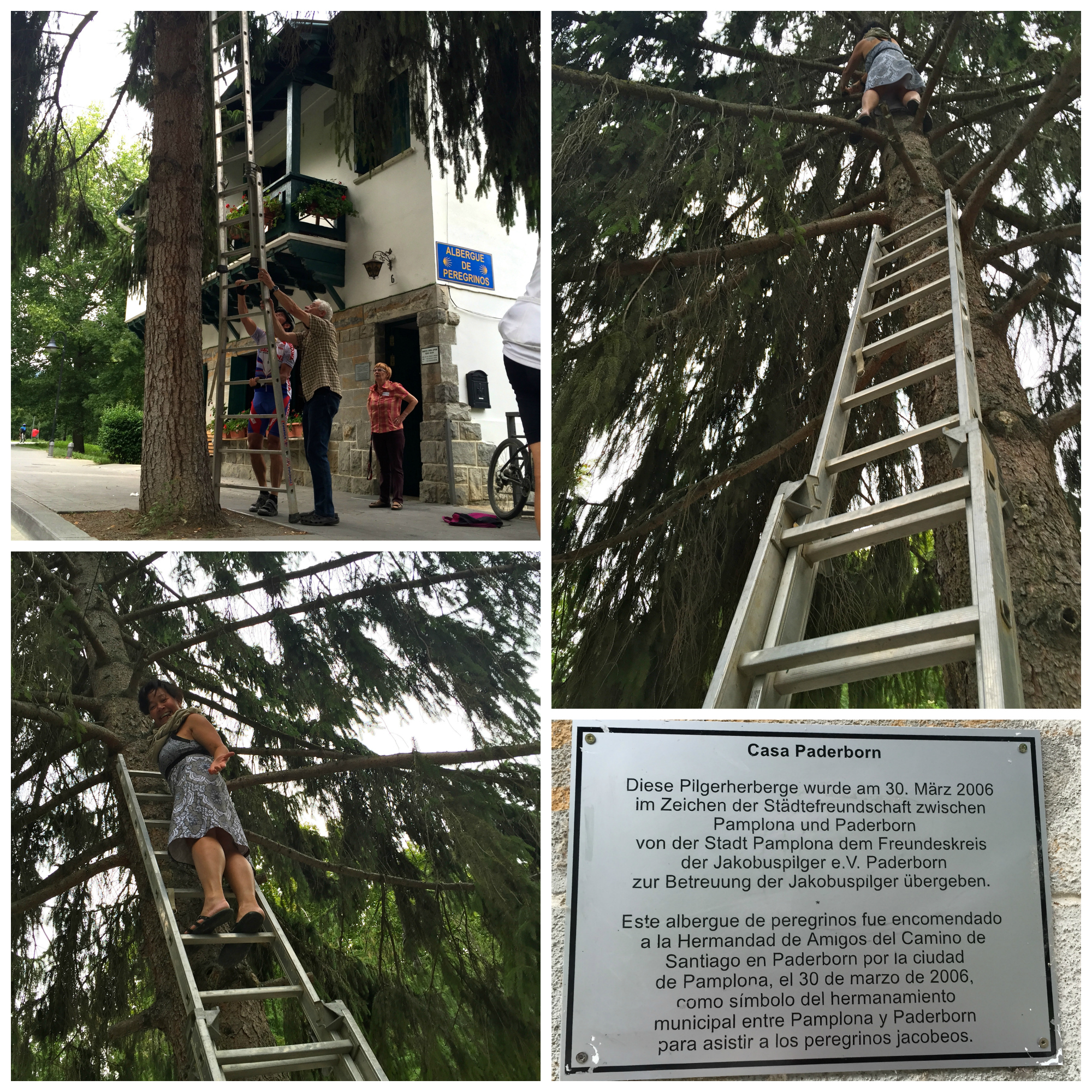
Walking farther west, we stumbled upon a German-style T5 experience at Casa Paderborn, Pamplona: märchenhaft! I estimated the cache height to be some 21 feet or so off the ground, well beyond the 14-foot ladder I borrowed (a ’14-foot ladder’ is probably called something different in a place where they don’t measure things in feet.) My pilgrim friends and 10 cyclists who happened to be resting below the tree did not understand what was happening. Even I was pretty amazed that WAY UP THERE is where my day went, in a dress, no less. They asked me from the ground: ¿Qué encontraste en el contenidor? What did I find in that container? Adventure and a great story to tell, that’s what.

The Casa Paderborn, Pamplona cache brought me additional joy because I had helped to develop the Paderborner Land GeoTour in Germany. This pilgrim hostel and this geocache both represent a sisterhood between the city where I was and a city that hosts a GeoTour! My worlds were coming together in delightful, mathematically unlikely ways.

Camino2
German-style T5 experience at Casa Paderborn, Pamplona.

By the time I got to La Cruz de Hierro, I was in my 4th week of walking. One of the most significant and powerful moments along the pilgrimage route, I had every intention of finding this geocache as a personal milestone. As it turned out, the significance and power of the moment itself caused me to forget about all about geocaching; instead my thoughts went to so many other far-off places. I recorded that as a memorable DNF since I had intended to find it and once within a few meters of the cache, I simply forgot to look. Has that ever happened to you?

Right outside the cathedral at Santiago de Compostela is a shadowy geocache called A sombra da Quintana de Mortos. Finding it at night when the lights are on makes for the best experience: architectural factors at the location combine, creating the magical illusion of a pilgrim forever tethered to the cathedral walls. It’s quite an improbable combination: the bumps on the cathedral walls were built independently of the simple pillar that creates the shadow. Further, the electric lights were added hundreds of years later. This is not something included in a typical guidebook. This is something I found only because of geocaching.

Camino3
Clockwise from left: Sombra with Hans photo by Suzanne, MissJenn walking to the Cruz de Ferro, Walking the Camino, At the finish.

Signing each of those geocache logs reminded me how geocachers have more than just geocaching in common. My stories intertwined with other pilgrims’ narratives as they each made their way one step at a time towards the city of Santiago de Compostela just like I did, but differently than I did. For example, the logs show that Dauby had started in Prague while I started walking just over Spain’s border with France. I read that the Canadian 3 Bearss were pawing through caches, always just a few days ahead of me. I actually met Maltese superprizz in person in Burgos (at a cache owned by my friend and Community Volunteer Stitch81) and we must have had very different paces since we didn’t run into one another again. Stitch81 himself had walked his own Camino many years ago, and he gave me sound advice and helped me with critical provisions.

It will take me ages to process all my many stories about this awe-inspiring, multi-faceted experience called El Camino de Santiago. At least I have now told you about some of the caches that helped make it an even better adventure.

What is the longest distance you have walked while geocaching?

Geocaching with Love in Alaska

Written by Annie Love, a Geocaching HQ Employee

This article was originally published in the Portuguese “GeoMagazine.”

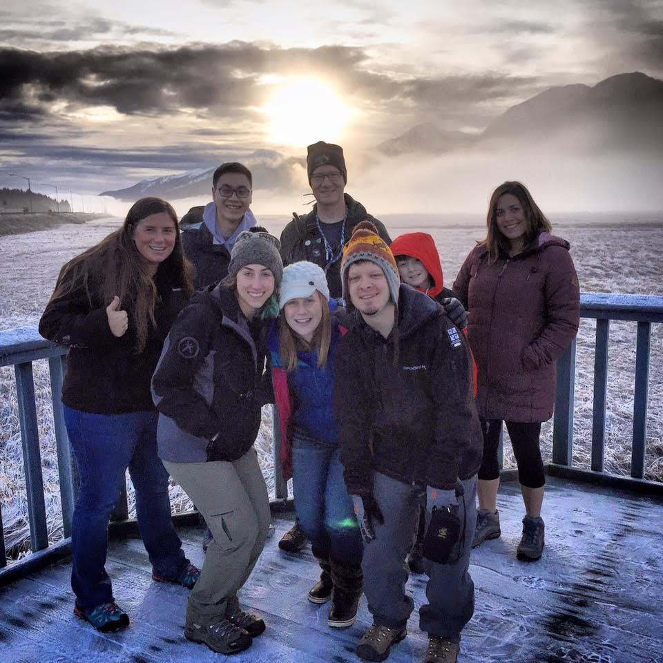
Not many people would choose to visit Alaska in December. But that didn’t stop a group of nine Geocaching HQ Lackeys and friends from spending 24 hours visiting the capital city of Juneau. I feel fortunate to work with such amazing people who don’t think twice about spending their own money and giving up their weekend for a fun geocaching adventure.

Cute group

With a cheap flight and our sense of adventure, we took off early on a Saturday morning for a 24-hour geocaching journey. The only way to reach Juneau is by plane or boat, as there are no roads that lead to this isolated part of Southern Alaska. Our plane descended into Juneau at sunrise treating us to a spectacular view of seemingly endless white capped mountains.

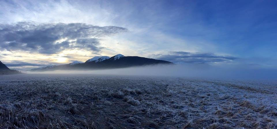
Moody Mountain

Upon arrival we picked up our two SUVs and took off on our adventure. Within minutes we were stopping at our first geocache. The setting: a lifting fog on a beautiful wildlife refuge surrounded by mountains. We couldn’t have asked for a better introduction to Alaska. After a tasty breakfast, we set off for one of Juneau’s top tourist attractions: Mendenhall Glacier (a 13 mile long river of ice). This place is unreal. If you ever get a chance to travel to Alaska it’s well worth the visit. It’s also a great place to log several EarthCaches and learn about the interesting geology and history of the area.

Posing like a band cover

Local geocacher Avroair (Mark Clemens) was hosting an event at the Visitor’s Center to celebrate his accomplishment of finding caches in all 50 states. Our group of nine met up with a handful of local geocachers and enjoyed talking about our hobby while taking in the amazing view of the glacier.

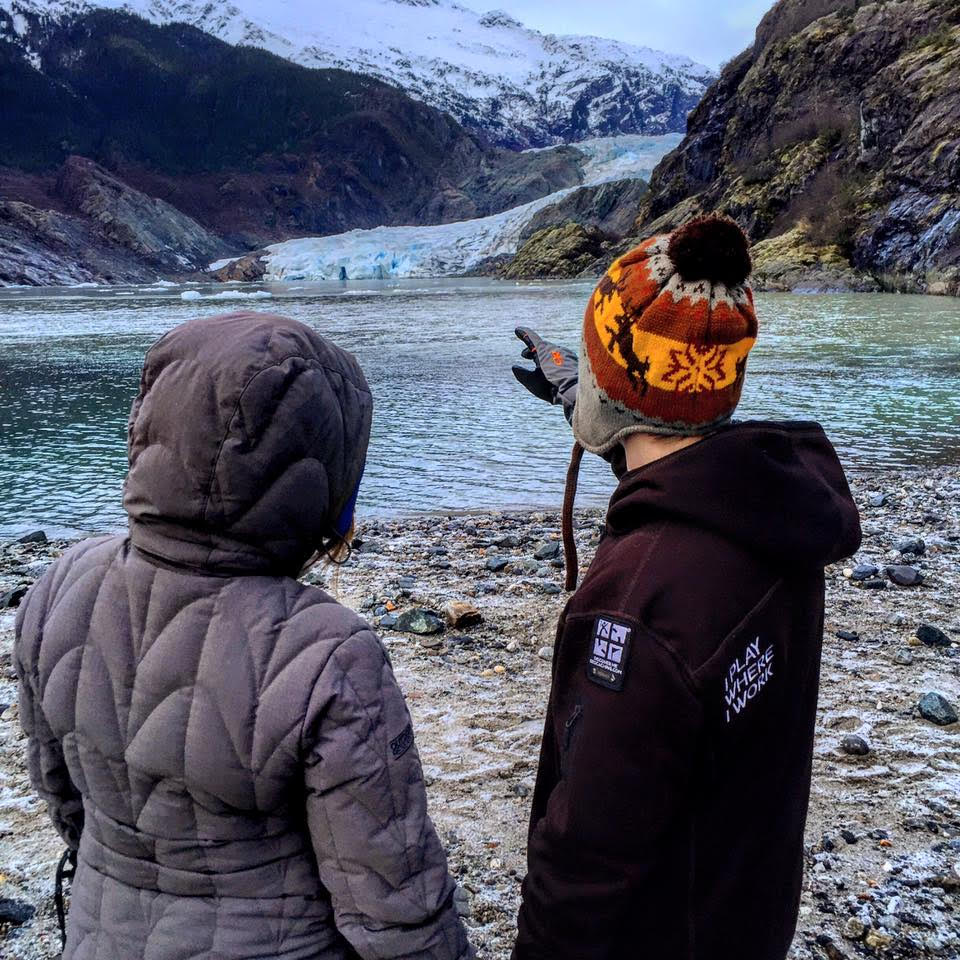
Pointing

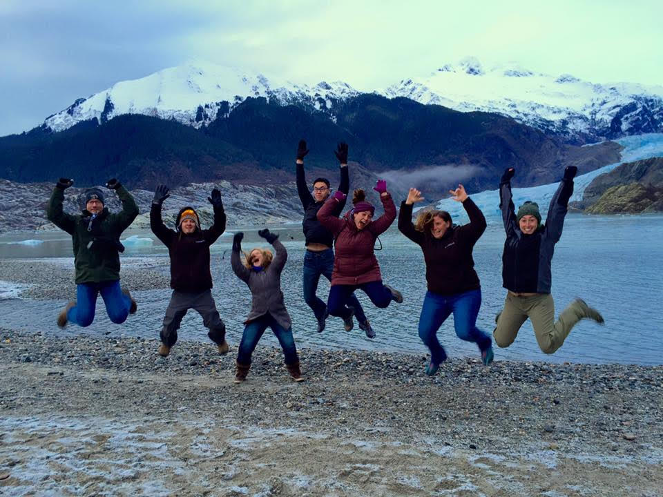
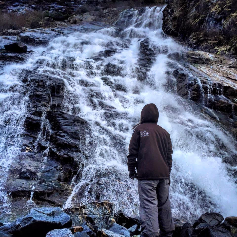
We then took off on the one-mile nature walk to Nugget Falls – an impressive nearly 400-foot tall waterfall. We posed for some silly pictures in front of the glacier.

Waterfall

Lucky for us, one of the local geocachers is a long time employee at Alaskan Brewing Co. We got our own behind-the-scenes tour of the brewery while sampling the local beer. Naturally, there was a geocache in front of the brewery that we had to find before starting our tour.

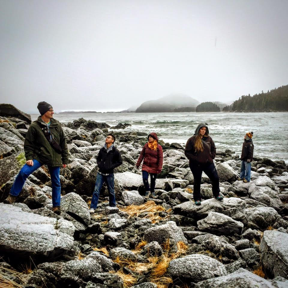
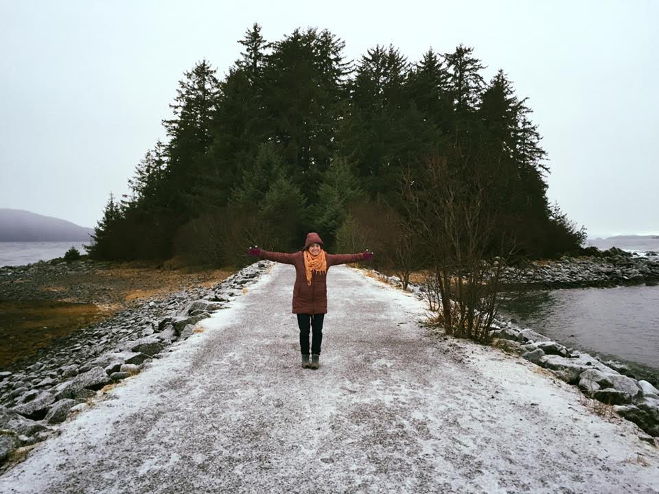
Arms out

Our very long day ended with a dinner event with even more local geocachers. Since it was a nice small group, we were able to have some great conversations and really learn a lot about the area and the local geocaches. We barely scratched the surface of the great geocaching Juneau has to offer and I was inspired to return someday – hopefully next time in the warmer summer months!

Group jumping

See Annie Love’s Geocaching journey atop Mt. Fuji. Where do you want to take a Geocaching journey?

Join the hunt to discover lost treasures from The Revenant

Does travel to extreme locations, facing the unknown, and surviving harsh winter wilderness sound like you? Join the hunt to discover lost treasures from The Revenant.

This winter, in association with Geocaching HQ, Twentieth Century Fox Filmed Entertainment has hidden a series of twenty limited edition movie props — as Trackables! Launching in select cities across the United States, Mexico, Europe, and Australia, the movie props will travel from location to location as geocachers log their finds and place them in a new geocache to continue the artifact’s journey. Share your find via social media by posting a photo using #TheRevenant. Check out more details on the Fox Movies page (scroll to the middle). 

The authentic movie props range from leather bags to ceramic pots to ropes.

About the movie: Inspired by true events, The Revenant is an immersive and visceral cinematic experience capturing one man’s epic adventure of survival and the extraordinary power of the human spirit. In an expedition of the uncharted American wilderness, legendary explorer Hugh Glass (Leonardo DiCaprio) is brutally attacked by a bear and left for dead by members of his own hunting team. In a quest to survive, Glass endures unimaginable grief as well as the betrayal of his confidant John Fitzgerald (Tom Hardy). Guided by sheer will and the love of his family, Glass must navigate a vicious winter in a relentless pursuit to live and find redemption. The Revenant is directed and co-written by renowned filmmaker, Academy Award winner Alejandro G. Iñárritu (Birdman, Babel).

There are even several geocaches out there (predating this movie) about Hugh Glass, including “Legendary Hunters – Hugh Glass” in Pennsylvania and “Old West #9 Hugh Glass” in Utah.


We can’t wait to see the adventures unfold as these Trackables travel to incredible places and continue to be discovered! Do you see your favorite movie prop trackable in this trailer?

[vsw id=”LoebZZ8K5N0″ source=”youtube” width=”560″ height=”315″ autoplay=”no”]

Geocaching atop Mt. Fuji

Written by Annie Love, a Geocaching HQ Employee

This article was originally published in the Portuguese “GeoMagazine.”

20993254696_30e681199c_b
Group shot at the beginning of the trek

I had heard August is the worst time of year to travel to Japan. So what did I do? I scheduled my two week holiday in Japan at the end of August. Naturally, the only reason I’d do something so silly is because of geocaching. I also wanted to climb Mt. Fuji and the window for doing so safely falls right around this time.

After cashing in airline miles for a free ticket to Tokyo, I started planning my big adventure. I knew I’d need help from locals over there, so I reached out to every contact I knew in Japan. After some months of planning, I decided to join a group of local geocachers at GC5VHCG — A CITO event that would take place on Mt. Fuji. Every year a group of Japanese geocachers makes the trek with the goal of giving back by cleaning up trash on the mountain.

While you can climb to the top and back in a day trip, the group wanted to catch the sunrise on top of the mountain, so it would be an overnight adventure for us. We left Tokyo by 8am and were at the trailhead at 11am. There were 11 of us total. Even though only three of us spoke English and I only knew four words of Japanese, we had little trouble understanding each other along the way.

21335988995_3e6e6b3114_k
Taxi drive up to 5th station, the trail head

We started off on the trail and were welcomed by the greeting of “Konichiwa” from every climber we passed along the way. Since the climbing season is very short on Mt. Fuji, there were plenty of climbers heading up and down the mountain. The clouds were low and a mist was falling, so we weren’t treated to great views in the first few hours of our trek.

20832179549_7b760d8294_k
Approaching one of the many stations on the trail

The Fuji climb is broken up into stations, which provide naturally good rest points every 45 minutes. We started at the 5th station (2400 meters) on the Fujinomiya Trail and had booked a hut at station 9.5 for spending the night. The goal was to reach this station around 5pm, have dinner and head to bed early. We’d get up before dawn and finish the last half hour of the hike to the summit to see the sunrise on top.

I’ve done a lot of hiking over my lifetime and I must say, it’s very rare to run into places that will sell you snacks, water, or even beer mid-hike! Each station on Mt. Fuji did just that, along with providing other climbing gear, souvenirs, or just a warm, dry place to rest. For 200 yen (€1.50), you could even use a vault toilet.

21148059818_0f544b1187_k
Group dinner/break at station 9.5

Most of the climb feels like you’re walking on a Martian landscape. Everywhere you look, there’s beautiful red and black volcanic rocks and soil. We took the shortest, steepest route up the mountain. Some consider this the easiest route as I learned other routes tend to be filled with so much loose rock or scree that every step you take, you slide down the hill.

At around the 8th station, the higher clouds lifted and revealed a spectacular view of the side of Mt. Fuji and a never-ending sea of clouds. These are the types of views that make it all worth it.

20396260444_1a94e779a6_k
When the dense fog cleared, this was the incredible view

We reached station 9.5 (elevation 3250 meters) on schedule around 5pm. From here, we could see the Torii (traditional Japanese gate) at the top. I could almost reach out and touch it, we were so close! After getting settled into our hut and having a nice warm meal with beer, we settled in for the night.

In the middle of the night, I woke up to sounds of the wind and rain outside our hut. I worried that this storm wasn’t going to go away by the time we were to make our summit attempt.

My worries became reality when the heavy gusting winds and rain were still there at 5am. The workers at the hut warned us that conditions were only worse on top and that it would not be safe for us to summit. My heart sank. We had worked so hard and were so close. With all the planning and effort that went into making the trip and climb possible, getting turned around by bad weather was very hard to take. But safety must come first.

21309676636_4273ad33c9_k
Sunset outside our hut on the mountain

Sometimes on an adventure you don’t win the “prize” you originally set out for, and that’s okay. The journey you take, the friends you’ve made, and the memories you keep make it all worth it. Now I just need to figure out when I can go back and try for the summit again. I told my new geocaching friends that I would be back someday. After all, the geocaches on the summit are still up there waiting for me!

21149044179_ae74753e39_k
9th station… almost at the top!

A Wagging Good Time: Tips for Geocaching with Pups

By Dani Navarre

Your favorite geocaching companions

Nothing is better than geocaching with your best friend and who could be better than man’s best friend? Geocaching isn’t just a hobby for humans—your four-legged friends can join in on the fun too.

Coming home to slobbery kisses and a wagging tail is enough to brighten anyone’s day. Your dog waits patiently for you to return home, he hears the hum of the car engine, and bounds down the stairs to greet you at the door. He does so much for you and deserves a little treat. You can add a little color to your favorite canine’s grey day by putting a leash on that enthusiasm and heading out for some geocaches. Sounds like a walk in the park that earns more than one kind of smiley. As someone who has trained with scent detecting dogs, I know exactly how rewarding working with animals can feel. One of the most enjoyable parts is having a goal that you and your furry friend can work toward together. Whether you are practicing obedience training or just want to get out for some fresh air, geocaching can be a fun way to get all the members of your family (human and canine) outside.

Stellar geo-sense
Stellar geo-sense

So here are HQ’s top tips for geocaching pups:


  • Socialize at your local dog park. While your dog is having the time of his life, you could be catching a few smilies. Dog parks are a popular places to hide geocaches, so next time you are out take a look.

  • Is your dog an adventurous pup or does he make sloths look hyperactive? Be sure to choose caches that match your dog’s fitness level. If your dog is a trailblazer he may enjoy longer hikes with more challenging terrain, but if your dog is a couch potato an easy urban stroll might be a better match.

  • Turn your dog into a geocache. Has science gone too far? Don’t worry your pooch is safe, but he can become a trackable puppy with a geo dog tag. Your pup will enjoy all of the pets and your human friends will love the new trackable.

  • Sensitive puppy paws. Be aware of the geocache’s terrain. The summer heat and cement or metal surfaces can be a dangerous combination for your dog’s sensitive paw pads.

  • Carry water. Make sure you and your dog are hydrated to keep those tongues wagging.

  • A safe pup is a happy pup. Check to see that your dog’s vaccinations are up to date for tick and mosquito protection. A hike through the woods can make for a fun day…until you come home with a car full of ticks and one sad puppy.

  • Collars aren’t just a fashion trend. Local leash laws vary by city. Before you set Rover free to roam, check to see if a leash is required.


Geocaching with your dog can be fun for whole family. What’s your favorite geocaching animal story?


and they're fun!
and they’re fun!